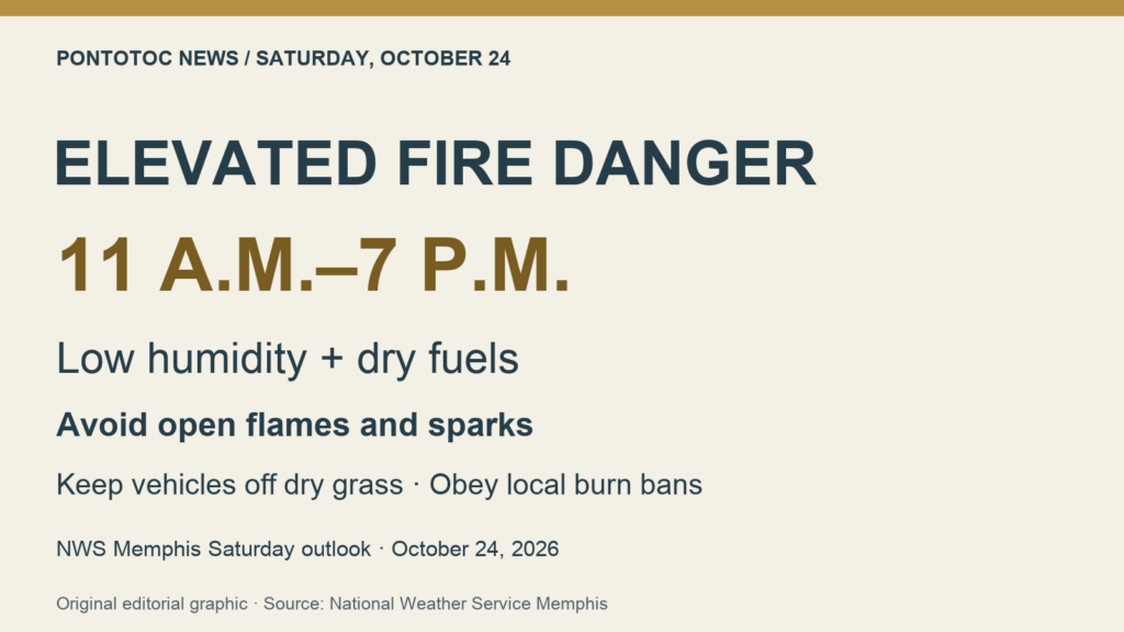
NWS flags elevated fire danger Saturday from 11 a.m. to 7 p.m.
North Mississippi remains under an elevated fire-weather outlook Saturday, with the National Weather Service’s Memphis office highlighting an 11 a.m. to 7 p.m. period of concern. The agency says dry vegetation and low afternoon humidity can allow grass fires to ignite and spread, and its morning discussion reports a Rangeland Fire Danger Statement for the Mid-South.
The Saturday outlook changes the expectation of improvement described in Friday afternoon’s forecast. Forecasters now put the region’s minimum relative humidity at 25% to 30% Saturday afternoon, with winds staying light but fuels remaining dry. Those are regional forecast values, rather than humidity readings measured in Pontotoc.
NWS urges residents to follow local burn bans, avoid open flames and sparks, keep vehicles off dry grass and properly dispose of cigarettes and matches. The agency’s full safety graphics are linked below, along with our earlier report on Ecru’s county burn-ban notice.
The current Pontotoc point forecast still calls for a sunny weekend: a high near 78 Saturday, a mostly clear Saturday night with a low near 47, and a sunny Sunday with a high near 77. The dry, pleasant-looking forecast comes with the continuing fire concern.
Photo: Pontotoc News original editorial graphic
Sources: NWS Memphis: full Saturday morning forecast and fire-weather discussion; NWS: full Saturday fire-danger statement and forecast graphics; NWS: current Pontotoc point forecast; Earlier Friday forecast: expected improvement in fire weather; Related local coverage: Ecru’s Oct. 20 county burn-ban notice
