Extreme drought area falls to 74.65% in Pontotoc County
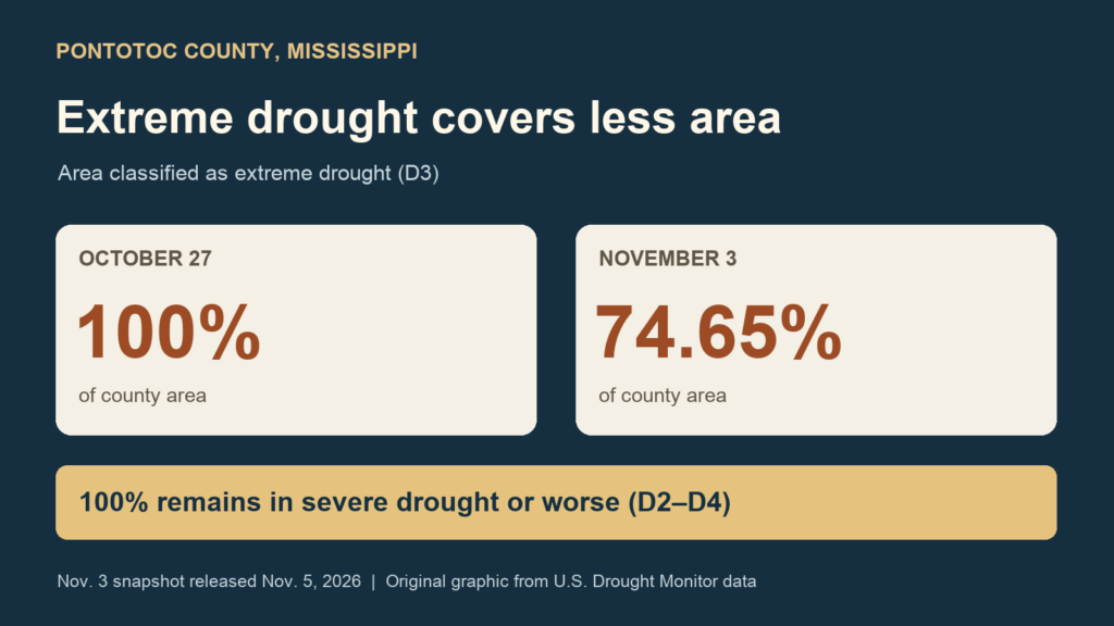
Extreme drought covered 74.65% of Pontotoc County in the latest U.S. Drought Monitor snapshot, down from 100% a week earlier. The Mississippi map released Thursday, November 5, uses November 3 data; the comparison is with the October 27 snapshot.
That is a reduction of 25.35 percentage points in the area classified as extreme drought. Drought still covers the entire county: 100% remained in severe drought or worse in both weekly snapshots.
The Monitor labels severe drought D2, extreme drought D3 and exceptional drought D4. Its cumulative D2-or-worse figure includes areas in the more intense D3 and D4 categories. Pontotoc County had no area classified as D4 in either snapshot. The percentages describe county area, not the share of residents affected.
The weekly map uses conditions assessed through the previous Tuesday morning. Rainfall after that cutoff is outside this assessment, so the November 3 snapshot does not measure any later change in conditions.
Photo: Pontotoc News original graphic; U.S. Drought Monitor county data
Sources: U.S. Drought Monitor: Pontotoc County records for Oct. 27 and Nov. 3; U.S. Drought Monitor: Mississippi, Nov. 3 data released Nov. 5; U.S. Drought Monitor: cumulative and categorical statistics explained; U.S. Drought Monitor: categories and weekly snapshot timing
