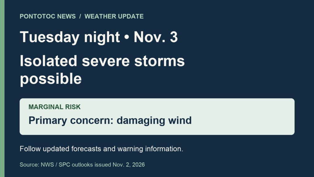
Isolated severe storms possible in Pontotoc Tuesday night
Isolated severe thunderstorms are possible in the Pontotoc area Tuesday night, Nov. 3, as a storm system crosses the Mid-South. The Storm Prediction Center’s Monday outlook includes Pontotoc in a marginal risk area and says the isolated severe threat could continue into Tuesday night across north Mississippi.
The National Weather Service in Memphis identifies damaging winds as the main severe-weather concern. A tornado and localized heavy rain are also possible across the region. Its Monday evening discussion says storms are expected to enter the Mid-South late Tuesday afternoon and spread across the area into the night.
Ahead of the storms, the Pontotoc County forecast calls for a breezy Tuesday with southeast winds gusting up to 30 mph. Showers and a chance of thunderstorms are forecast Tuesday night.
Residents should keep up with updated forecasts and have a way to receive watches and warnings, such as local news or NOAA Weather Radio. NWS preparation guidance also recommends choosing a safe shelter location in advance.
Photo: Pontotoc News original editorial graphic
Sources: SPC November 2 outlook for Tuesday, November 3; NWS November 2 evening forecast discussion; NWS November 2 county forecast: see the Pontotoc section; NWS severe-thunderstorm preparation guidance; Earlier coverage: November 1 rain forecast
